Enhancing the Remote Monitoring of CE: Scientific collaboration
WEConserv Foundation works together with U. Maryland, NASA, and The Real Eco Estate to map complex ecosystem dynamics in the Chilean Patagonia.
Monitoring compliance with and the efficacy of Conservation Easements (CE) in remote areas such as the Chilean Patagonia is a worthy challenge that often requires deploying the most modern remote sensing technology.
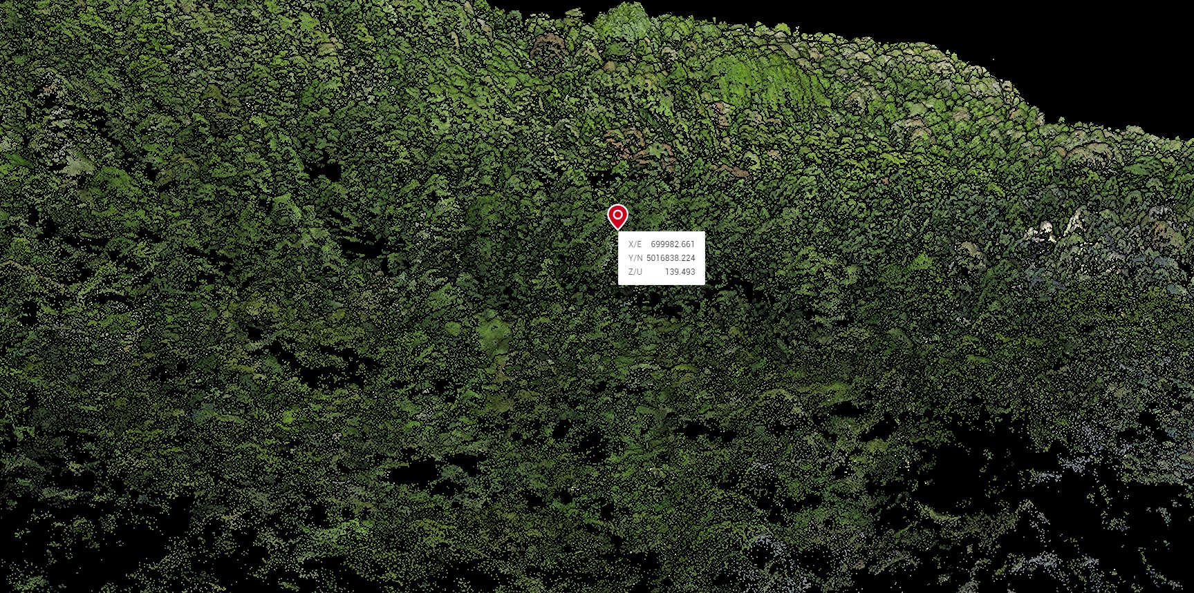
Since 2022, the WEConserv Foundation (landtrust), The Real Eco State, and The Global Ecosystem Dynamics Investigation (GEDI) program of the University of Maryland and NASA are working together to map complex ecosystem dynamics in the Chilean Patagonia. The GEDI program produces high-resolution laser-ranging observations of the 3D structure of the Earth based on LIDAR satellite observations. With this information, we can obtain more precise measurements of forest attributes, as well as characterize carbon and water cycling processes, biodiversity, and habitat. The Real Eco state acquired the drone Zenmuse L1 Lidar module, and, in collaboration with WEConserv’s Foundation, specialists are working to complement GEDI LIDAR Satellite observations by the use of the drone to obtain precise measurements of Patagonian forest attributes, as well as to detect fine-scale conservation easement violations (See Figure 1).
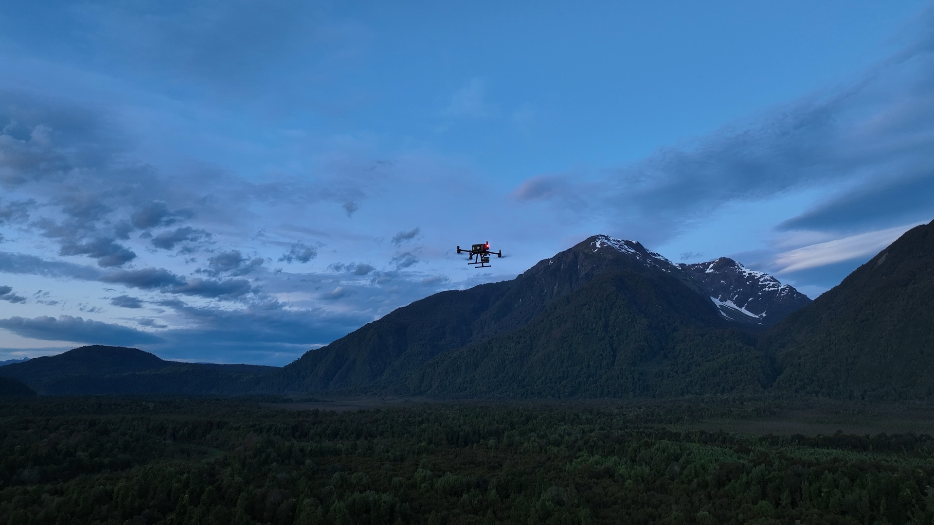 Figure 1. LIDAR flight mission at chilean Patagonia. Photography by Tomás Pulido (12/2022).